Users may measure Distance, Area or find coordinates on the map.
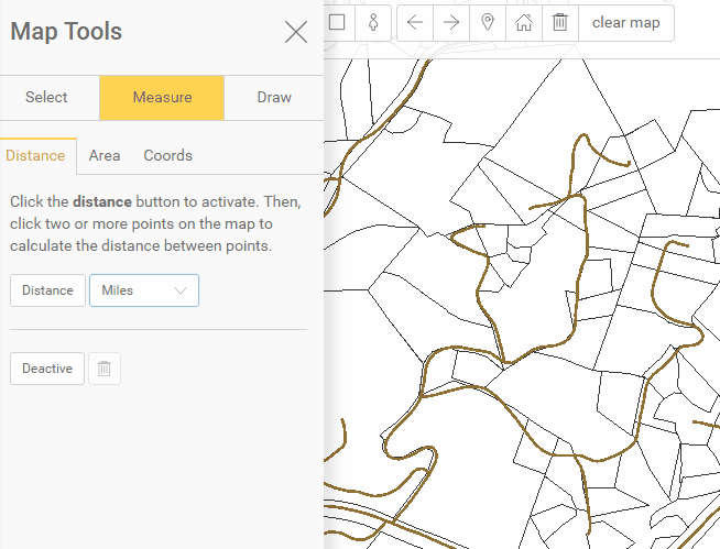
Measure Distance:
Choose the type of units to measure, Miles, Kilometers, Meters or Feet.
Next, click on the Distance button to activate the tool.
Then, click two or more points on the map to calculate the distance between points.
Finally, click Deactivate to stop measuring distance. Click the trash can next to Deactivate to remove measurements.
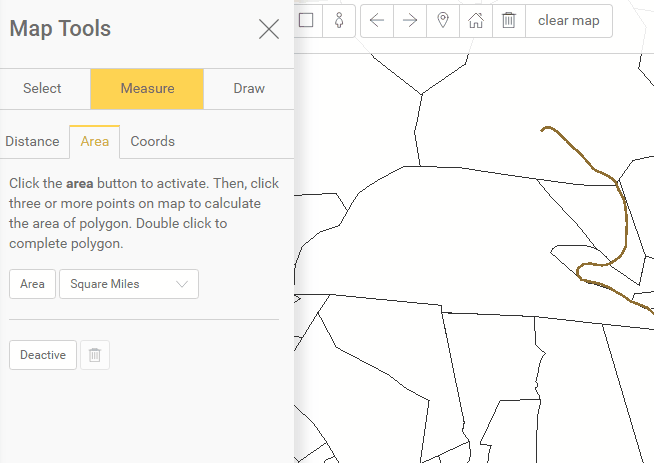
Measure Area:
Choose the type of units to measure, Acres, Square Feet, Square Miles, Square Kilometers, Square Meters.
Next, click the Area button to activate.
Then, click three or more points on map to calculate the area of the polygon.
Double click to complete the polygon. Click the trash can next to Deactivate to remove measurements.
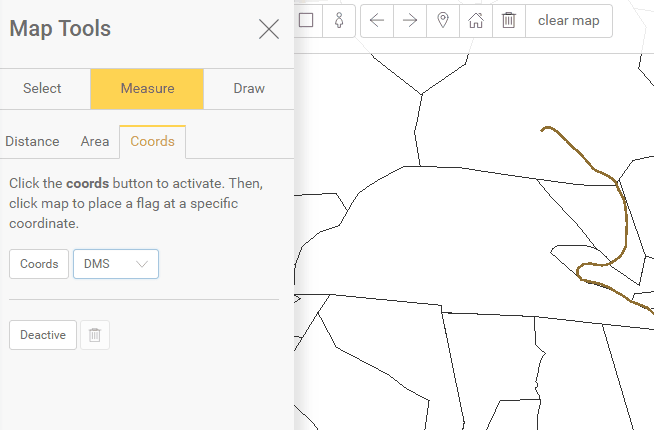
Find Coordinates:
Choose the units for desired coordinates.
Next, select the Coords button and click on the map at the location needed.
Click Deactivate to stop finding coordinates. Click the trash can next to Deactivate to remove coordinates.